What we measure
- Vehicle volumes by lane and direction
- Vehicle classification, from motorcycles to heavy trucks
- Turning movements at junctions
- Speeds
- Origin and destination patterns
- Queue lengths and delays
- Pedestrian and cyclist counts
- Parking occupancy and duration
Data collection methods
Video with artificial intelligence
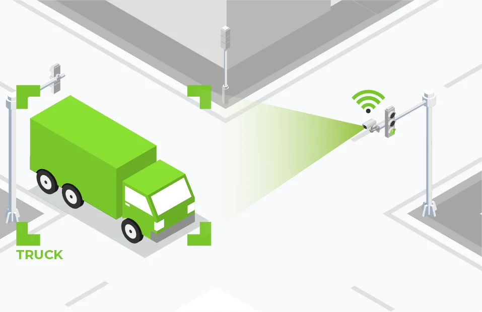
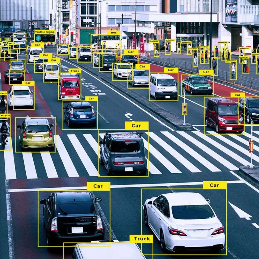
Cameras record traffic, and AI software counts and classifies vehicles, turning movements and pedestrians. Video is flexible, accurate and can be checked later. It is our most common method for junction counts. See video analytics.
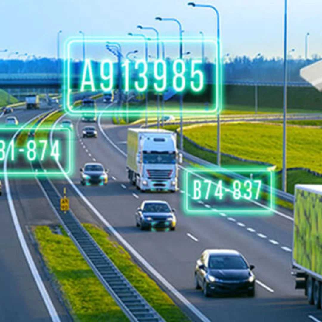
Automatic number plate recognition
ANPR cameras at several points identify the same vehicle as it passes, allowing journey time and origin-destination analysis. Plate data is anonymised for privacy. See ANPR.
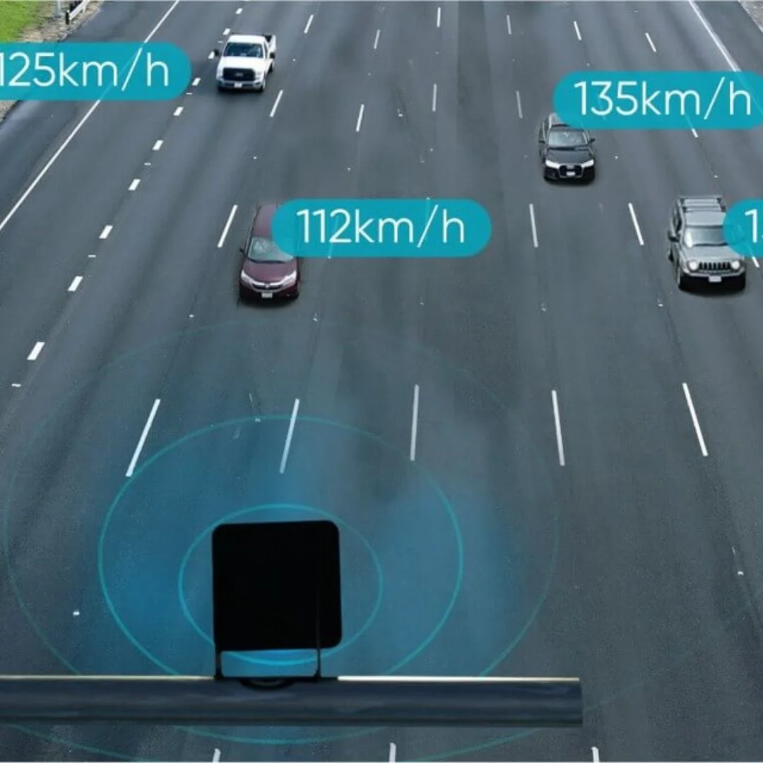
Radar
Radar detectors count and measure speeds over long periods without being affected by light conditions.
Pneumatic tubes
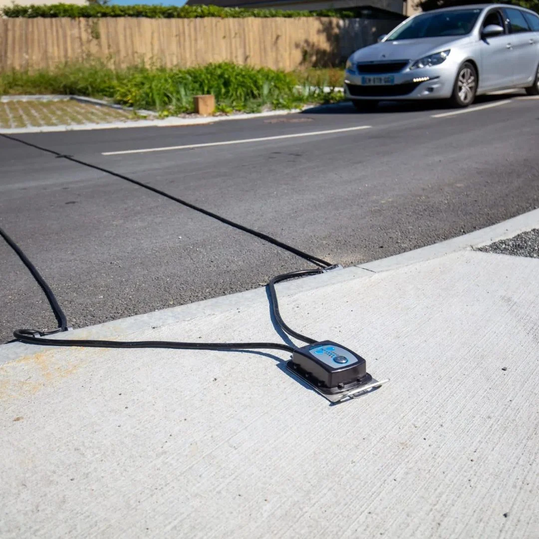
Rubber tubes laid across the road count axles and classify vehicles. A proven, low-cost method for link counts on smaller roads.
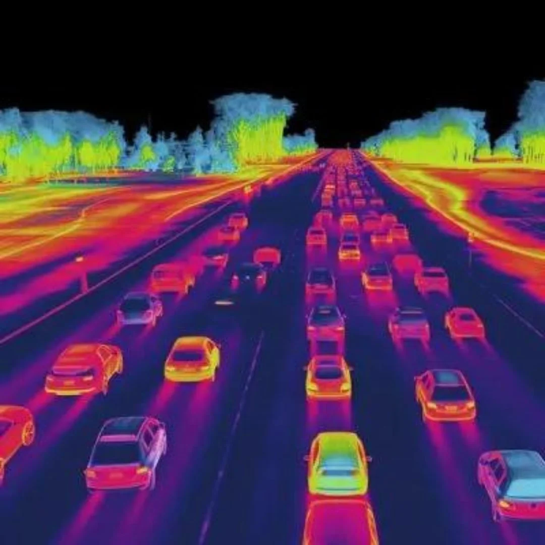
Thermal imaging
Thermal cameras detect vehicles and pedestrians in darkness, glare, dust and haze, which are common conditions in the region.
Manual surveys
Trained surveyors observe and record counts, especially for complex movements, pedestrian behaviour or short surveys where equipment is not practical.
Field data collection apps
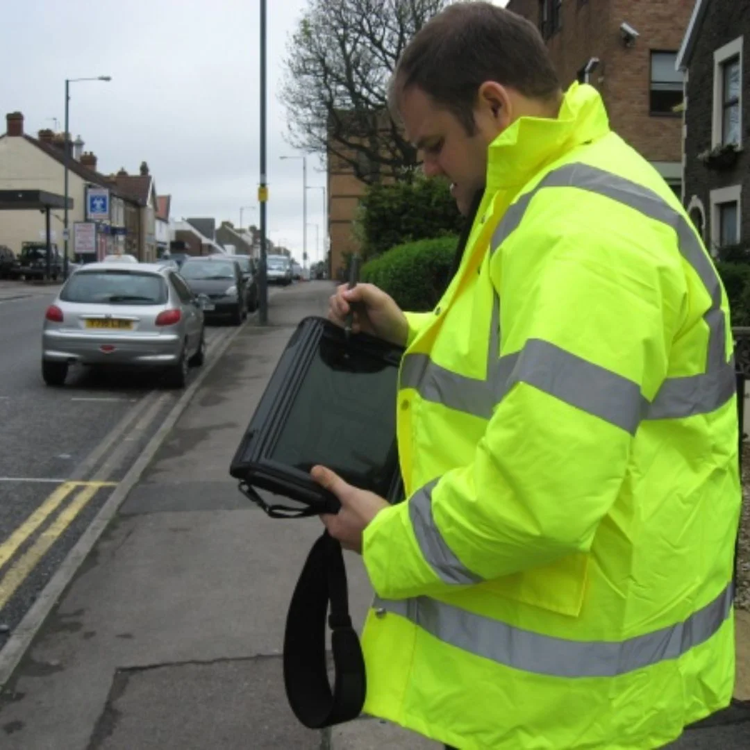
Digital forms on tablets for surveys and interviews. See our CAPI survey tool.
Choosing the right method
| Need | Recommended method |
|---|
| Junction turning counts | Video with AI |
| Long-term link counts | Radar or tubes |
| Journey times | ANPR |
| Night and low visibility | Thermal |
| Complex pedestrian behaviour | Video or manual |
| Parking studies | Video or manual |
We often combine methods to cross-check results.
Our process
- Agree the scope: locations, periods, data required and the study’s purpose.
- Plan the survey: equipment, permits, safety and timing, avoiding unusual days unless they are the subject of the study.
- Install and collect: equipment is installed safely and monitored during the survey.
- Process and check: counts are processed, classified and quality checked.
- Report: clean data in spreadsheets and summary reports, with charts and maps.
Survey timing in the Gulf
Traffic patterns in the region change with school terms, Ramadan, summer holidays, weekends and major events. We plan survey dates carefully and record any unusual conditions, so the data represents what the client needs, whether that is a typical weekday or a peak event.
Data quality and privacy
We check accuracy against manual samples, document any gaps and keep raw video for review when needed. Personal data, such as number plates and faces, is handled carefully: plates are anonymised for analysis and video is stored securely and deleted after the agreed period.
Example scenario: a new mall in Jeddah
Picture a developer planning a mall next to two busy roads. The traffic consultant needs turning counts at four junctions, link counts on the main roads and parking data from a similar mall. We install video cameras at each junction for typical weekday and weekend periods, radar counters on the main roads for a week and conduct a parking survey at the comparison site. The consultant receives classified counts, peak hour summaries and parking profiles ready for the traffic impact study.
Safety during surveys
Traffic surveys put people and equipment near moving vehicles. We plan installation with traffic management where needed, use trained staff with protective equipment, avoid peak times for installation and coordinate with authorities. Equipment is mounted securely so it cannot fall into the road, and checked regularly during long surveys.
Using traffic data beyond studies
Traffic data is useful long after the study ends. Permanent counting stations help authorities monitor trends, plan maintenance and measure the effect of new roads, public transport and policies. Businesses use counts to choose locations, plan opening hours and measure the effect of promotions. Venues use pedestrian counts to manage crowds during events.
Origin and destination studies
Understanding where trips start and end is essential for planning roads and public transport. We collect origin and destination data using ANPR matching between survey points, roadside interviews with digital survey tools and, where available, anonymised data from other sources. The results show how traffic moves through an area, which routes are used and where new connections would help most.
Parking studies
Parking surveys measure how many spaces are used at different times, how long vehicles stay and where illegal parking occurs. Results support parking design for new developments, pricing and enforcement decisions, and the planning of park-and-ride facilities.
What the client receives
- Raw and processed counts in agreed formats
- Peak hour summaries and daily profiles
- Vehicle classification breakdowns
- Maps and diagrams of survey locations and turning movements
- A short report describing methods, conditions and data quality
Pedestrian and crowd counting
Pedestrian movement matters as much as vehicle traffic in city centres, metro stations, malls, stadiums and religious sites. Video analytics count people crossing lines, measure density in zones and track flows between entrances, platforms and exits. Event organisers use the data to manage crowds safely, and planners use it to design wider footpaths, better crossings and shaded walkways for the Gulf climate.
Why choose Expedite IoT for traffic data
- Equipment owned and maintained by our own team
- AI video processing with manual quality checks
- Experience with authorities and permits in Saudi Arabia, Qatar and Oman
- Fast turnaround, so studies stay on schedule
- Secure handling of video and personal data
Smart city traffic monitoring
Cities across the region are investing in permanent traffic monitoring as part of smart city programmes. Fixed cameras and sensors at key junctions feed live data into traffic control centres, where operators adjust signal timings, respond to incidents and inform drivers through message signs and apps. The same data builds a long-term picture of how the network performs, helping planners prioritise investment. Our counting technology can be used for short studies or installed permanently as part of these systems.